 We congratulate Dr. Ioannis Rekleitis for receiveing an NSF research award for his project titled "Enhancing Mapping Capabilities of Underwater Caves using Robotic Assistive Technology"
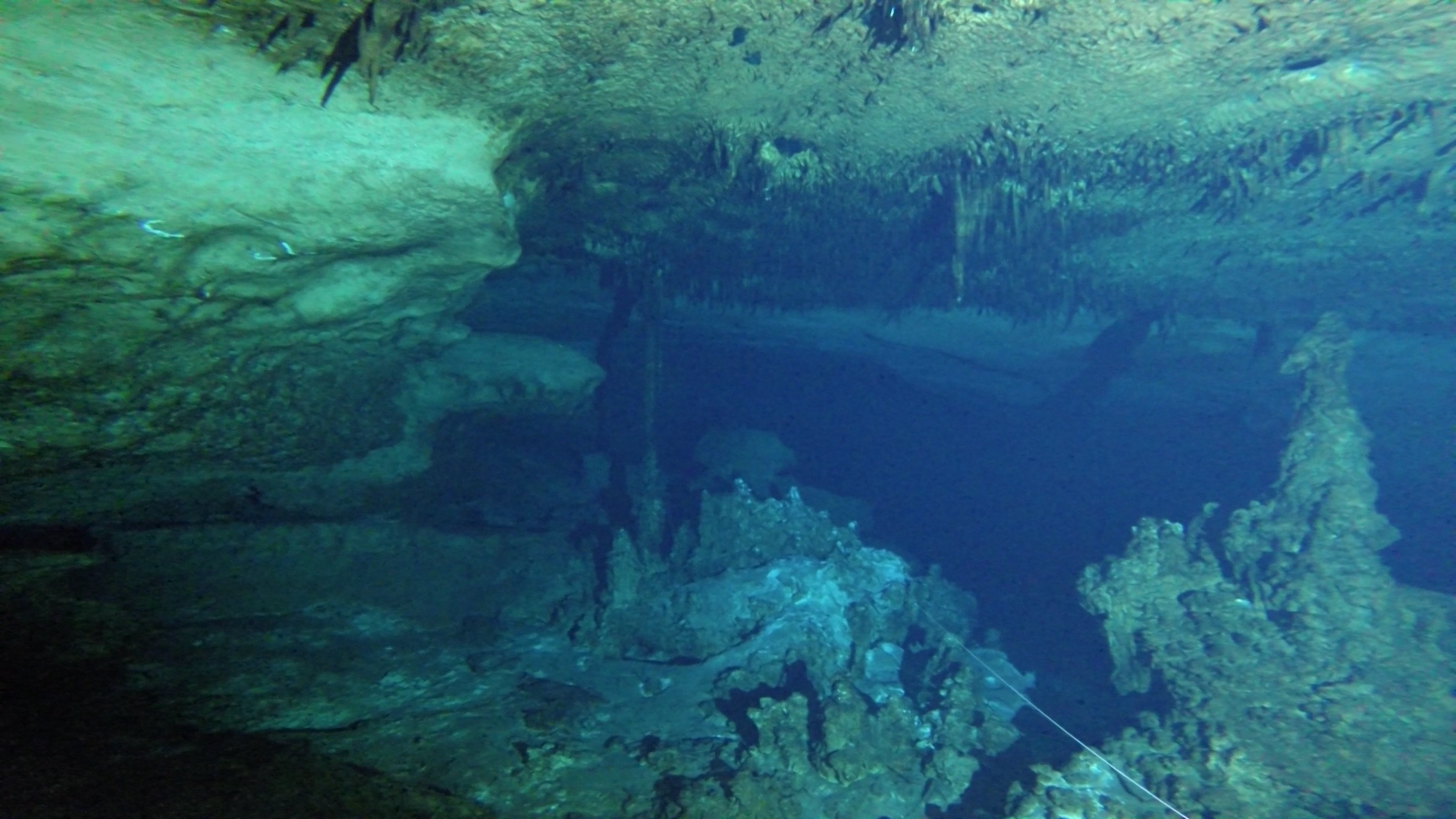
This project develops robotic assistive technologies to improve mapping capabilities of underwater caves. The project enables the practical construction of accurate volumetric models for water-filled caves. The technology of this robotic system can also be deployed on underwater vehicles enabling the autonomous exploration of caves and other underwater structures. Furthermore, the data and software, released under an open-source license, enable researchers to test algorithms on computer vision, state estimation, and sensor fusion, in challenging environments. The project integrates research and education through training graduate and undergraduate students and enhancing several graduate and undergraduate courses at the University of South Carolina.Full Abstract:
This project develops robotic assistive technologies to improve mapping capabilities of underwater caves. The project enables the practical construction of accurate volumetric models for water-filled caves. The technology of this robotic system can also be deployed on underwater vehicles enabling the autonomous exploration of caves and other underwater structures. The developed techniques can also be used in some applications of aerial and ground vehicles. Collected data from field deployments of the developed sensor are made available to the wider robotic, geological, and speleological research community through public-domain releases in order to further innovation. Furthermore, the data and software, released under an open-source license, enable researchers to test algorithms on computer vision, state estimation, and sensor fusion, in challenging environments. The project integrates research and education through training graduate and undergraduate students and enhancing several graduate and undergraduate courses at the University of South Carolina. The project also engages undergraduate students from Benedict College, a Historically Black College or University (HBCU). The collected data are used in outreach activities to recruit high-school students of the greater Columbia area in STEM education, engaging students and educators, particularly in underserved communities.
This research develops 3D reconstruction algorithms utilizing the environmental characteristic of a cave system. The research team studies robotic technologies for sensor fusion of multiple data streams in a single unit and validates experimentally the developed system via extensive testing in underwater cave explorations in collaboration with expert cave divers. The project introduces robotic technology to the underwater cave explorer community by capitalizing on existing practices in three steps: (a) deploying stereo cameras to be used in conjunction with structured light carried by the divers, (b) developing a bearing-only Cooperative Localization system for accurately recording the skeleton of explored caves; (c) developing a sensor suite that seamlessly integrates inertial measurement unit, sonar, depth, and visual data with state estimation algorithms for the volumetric mapping of the cave. The project enhances underwater cave mapping abilities by increasing: 1) the scale of the area mapped, 2) the safety of the divers by reducing their cognitive load during exploration and 3) the quality of the produced maps.